WALK TO THE TOP OF A VOLCANO* IN THE CITY OF LAKE OSWEGO!
*The volcano, Mt. Sylvania, is extinct, part of a boring old lava field ... I mean, the Boring Lava Field.
You will get a good workout on this hike, a loop almost 4 miles long, starting in Lake Oswego at Westlake Park (elevation 340 feet), going to the top of Mt. Sylvania (978 feet), and then returning to Westlake Park.
It winds through the Mountain Park community. This large 700-acre planned community, begun in the late 1960's by developer Carl Halvorson, is home to 8,500 people, almost one-quarter of Lake Oswego's population. While it is the largest such community in Oregon, it is a smaller version of large 1960's era planned communities such as Columbia, Maryland, and Reston, Virginia, with curving streets, natural open space areas, trail systems, and community centers.
Start at Westlake Park and then head east on Melrose Street. The park has convenient off-street and on-street parking areas. If you need to use a restroom, do so at the park. There are no public restrooms along this hike.
When Melrose ends, go left up the hill on Botticelli Street - the sidewalk is on the right side of the street. After a few hundred feet you will see an off-street trail leaving from the left side of Botticelli - carefully cross the street and take the trail, heading up the hill. (If you get to El Greco Street, you have gone too far.)
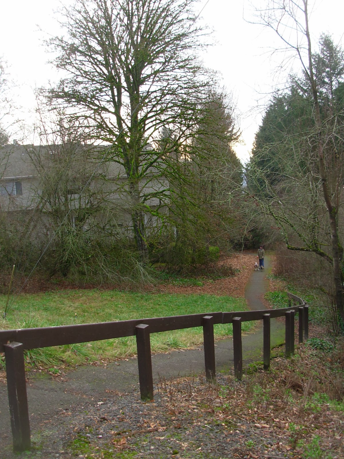
You are now on part of the Mountain Park trail system, which is owned and maintained by the Mountain Park Homeowners' Association. These quiet trails go through wooded areas and along drainage channels.
Follow this trail up the hill, until you come to the first street, Del Prado. Cross the street and continue on the trail. Take a look to the left and right and you will see typical Pacific Northwest modern architecture, with a few random colonial styles thrown in. All surrounded by mature trees. A beautiful neighborhood!
Keep climbing up (don't take the trails that go to the right), and you will eventually reach Cellini Street. By the way, you are in Mountain Park's "artist" district, at least regarding the street names!
At Cellini, turn right and walk up to Da Vinci Street, cross Da Vinci, and continue straight ahead onto the trail.
Keep following this trail as it turns right, but don't turn right at the fork, and you will finally go up a stairway to the signaled intersection of Kerr and Jefferson Parkways. Note the undercrossing of Jefferson Parkway to the right that you will not be taking. There are several of these unusual road undercrossings throughout the Mountain Park community.

Cross Kerr at the traffic light and continue on the sidewalk/pathway that runs along Jefferson. At the entrance into an apartment complex on the right, continue by walking on the bike lane on the side of the street for a few hundred feet. Carefully watch for traffic on Jefferson on this stretch.
 At Mt. Jefferson Parkway, next to the Mountain Park Clubhouse, formerly known as the Mountain Park Recreation Center, the sidewalk/pathway begins again, so you no longer have to walk in the street. The Clubhouse provides a great reason to live in the Mountain Park community, with a lap pool, children's pool, hot tub, indoor basketball court, large exercise room, saunas and steam rooms in the bathrooms, and a great offering of recreational classes and activities. Note also the sculpture of two swimmers next to the recreation center sign.
Follow the pathway along the road, but then when you see a pathway veering to the right away from the road, take it. You will go through an undercrossing of the next street, continue past the Mountain Park tennis courts, and continue through another nice wooded section of trail.
Keep to the left, paralleling Jefferson Parkway up the hill. You will eventually end up at Mountain Park Church, a large non-denominational congregation. The walkway continues between the street and the church grounds.
At the end of the church grounds you will arrive at a set of wide stairs leading to the intersection of Jefferson Parkway and McNary Parkway.
Cross the street and follow the sidewalk on McNary all the way to Hidalgo Street, on the right. Note the houses on your left - they were built in the late 1990's, after most of the other homes in Mountain Park. Note the different architectural and site design, and the smaller lots, compared to the houses you saw earlier on this hike.
When you cross the street, you will find yourself on another trail that parallels the streets, but also provides access to another City of Lake Oswego park. McNary Park was built on top of a water storage reservoir - a nice, although undoubtedly expensive, way to combine two very different city amenities. It's a great place to rest on one of the benches before you begin your final climb up Mt. Sylvania.
You are now in the home stretch to the top of Mt. Sylvania - the "independence heroes" district of Mountain Park, in terms of street names. The houses in this neighborhood are large, and some are architecturally interesting. While these streets do not have sidewalks, they have very light residential traffic.
From McNary Park, head up Juarez Street, and then right onto Garibaldi Street. Soon on your left you will see a Mountain Park pathway sign, the start of a short, steep trail through the woods to Nansen Summit Park, which is at the top of Mount Sylvania. The road makes a one-way loop around the park. Climb the pathway to the top for spectacular views of Portland, Lake Oswego, and Washington County.
To come down, go down Nansen Summit Road and take a right onto Garibaldi. On the left side of the street you will see a Mountain Park pathway sign for a steep pathway down the hill to Hidalgo.
Turn left on Hidalgo and cross the signal light on 49th Street at the entrance to the Portland Community College Sylvania Campus. Before you get to the intersection you will pass a small shopping and office center on your right, home to a very good middle eastern restaurant, a small middle eastern market, and a restaurant/bar. Take the sidewalk on the right side of 49th, which curves and turns into Kerr Parkway. If you need to make a bathroom stop, you can continue down the hill into the campus.
Where the sidewalk ends, get back on the Mountain Park pathway system and follow a steep trail down the hill. The trail will dump you onto Cervantes Street. Here you'll see yet another Mountain Park housing type - duplexes and fourplexes, of varying Northwest contemporary architectural design.
Go down the hill along the road until the trail leaves the road again, and follow the trail all the way down the hill to Jefferson Parkway. You will see a dirt pathway going off to the right, which if followed will take you to Portland Community College after a five-minute walk.
Take the sidewalk on the right side of Jefferson Parkway to Kingsgate Street, where you will make a left. Kingsgate has no sidewalk on this section, so be careful (although traffic is light). At Aquinas, take a left.
 Soon you will see another Mountain Park pathway on your right. Follow it, and take it straight down the hill. You will pass an interesting old holly orchard on your right - otherwise you will be looking at the back sides of houses and, after crossing Galen Street, houses and apartments. After the trail turns right you will end up looking down on Oak Creek Elementary School. The trail ends at Kingsgate Street.
At Kingsgate, take a left turn down the hill, and then turn left at Melrose Street. After a short walk on the sidewalk you will be back at your starting point - Westlake Park. The park is almost 20 years old, and like many of the athletic facilities in Lake Oswego, has artificial turf fields. Local kids, coaches and parents got tired of playing fall soccer games and spring baseball games in mud, so the city's voters decided a few years back to rectify that situation!


 At Mt. Jefferson Parkway, next to the Mountain Park Clubhouse, formerly known as the Mountain Park Recreation Center, the sidewalk/pathway begins again, so you no longer have to walk in the street. The Clubhouse provides a great reason to live in the Mountain Park community, with a lap pool, children's pool, hot tub, indoor basketball court, large exercise room, saunas and steam rooms in the bathrooms, and a great offering of recreational classes and activities. Note also the sculpture of two swimmers next to the recreation center sign.


No comments:
Post a Comment