Monday, March 24, 2014

Eastmoreland, Crystal Springs, and Reed College - SE Portland


Eastmoreland, Crystal Springs, and Reed College - SE Portland

This shorter walk explores one of Portland's nicest areas, home to a great college, a great public garden, and a great residential neighborhood. The walk itself is a little more than two miles long, but you can lengthen it with a side journey into the Crystal Springs Rhododendron Garden.


Start at the Eastmoreland Golf Course parking lot, on SE Bybee Blvd. on the east side of Highway 99E/McLoughlin Blvd. There are parking lots on both sides of Bybee, neither of which is restricted to just golfers. It's a very good course to play, by the way, but save a trip to the links for another day. Bybee is a street with heavy traffic, but with sidewalks on both sides.


Begin walking east on Bybee, which curves leftward to become Tolman St. and then 28th Ave. Try to ignore the noise of the heavy traffic and enjoy the views of the golf course to the left.


On the other side of the street from the golf course are the first of the homes in the beautiful Eastmoreland neighborhood. Built in the period between the two world wars, these stately residences, such as this one, represent almost all of the residential architectural styles popular during this era.


At Woodstock Blvd. the main flow of traffic turns to the east Continue on 28th, and soon on your left is the entrance to the Crystal Springs Rhododendron Garden. Although the garden is at its finest during April and May, it's beautiful any time of year. Admission is $4, and is worth it. A walk past the smaller lake pictured to the left leads to Crystal Springs Lake, with the gardens on one side and the edge of the golf course on the other.


Right across the street from the Rhododendron Gardens is this entrance to Reed College. Cross the street and head into the campus. Reed is an elite school with 1,400 undergraduates, well known for its excellent academics and its idiosyncratic student milieu. An interesting movie to watch about life at Reed is Blue Like Jazz, from 2012. On the darker side, Reed is dealing with a heroin use problem among its students, resulting in overdose deaths in 2008 and 2010.


Continue up a slight grade through the campus, until you get to a broad central green area called the Great Lawn. If it's sunny and school is in session you'll see clumps of students "studying" on the broad lawns. You'll pass by this imposing looking building, the Old Dorm Block, which looks like a great place for student life. Apparently some of the dorm rooms even have fireplaces. The Old Dorm Block was constructed in 1912, and has some interesting architectural details.


After passing the Old Dorm Block, continue along the north edge of the Great Lawn, passing Eliot Hall, until you get to the Cooley Library Building, at the corner of the open area. Turn right and follow the roadway to the main Reed College entrance. Continue across Woodstock Avenue, and you will be among the beautiful residences of the Eastmoreland neighborhood along Reed College Place, with its huge tree-filled center divider.


Continue along Reed College Place and enjoy looking at the beautiful homes, representing diverse period architectural styles. This is one of Portland's premier neighborhoods, with home prices generally in the upper six figures. After three long blocks, turn right on Bybee Blvd. and continue west until you get back to the intersection of Bybee and Tolman. You are now within a few hundred feet of your starting point at the golf course, a short walk along Bybee.

Monday, February 17, 2014

Salem - from Oregon's Capitol to Oregon's Hospital

SALEM: FROM OREGON'S CAPITOL TO OREGON'S HOSPITAL

Everyone should visit Oregon's State Capital City, Salem, at least once! And here is a walk to go on once you get there, taking in Oregon's Capitol and its Mall, a beautiful district of historic houses, and Oregon's historic State Hospital and its grounds. The walk is 3.6 miles and is entirely flat.


Start at Oregon's State Capitol, seat of government for the state, on the Court Street side of the building. The building was completed in 1938, and looks much different from the classic statehouse capitol dome seen in many other state capitals. Oregon used to have a classic capitol dome, but the building burned to the ground in 1935, leading to this structure. The "golden pioneer" stands atop the "dome," and at least until recently you could go on a special capitol tour which included steps up to the top. I don't know if you still can, because in 2013 some knuckleheaded protesters went on the tour and then rappeled down from the top, unfurling a protest banner. If you're interested in trying to take a tour, call the visitor's center to see if any are scheduled before or after the walk.

Continue east on Court Street, then cross 12th Street and the busy Southern Pacific Railroad tracks. Stay on the left side of the street, because Court is a one-way couplet that curves to the right to meet State Street at 13th Street, and a pedestrian crossing on the right side of the street is difficult. Continue onto what is now a very quiet Court Street, and you will be in the midst of Salem's Court-Chemeketa Streets Historic District, full of beautiful old homes. At 1467 Court Street, on the left side of the street, is the Griffith House, built in 1895.


At 1517 Court Street, on the left side of the street, is the beautiful Ashby-Durbin house, constructed in 1892, and as far as I can figure out the oldest residence in the district that is located on its original building site. There are some older homes on the street, but they were moved to their current sites at a later date. If you are interested in any of the other houses you will be passing by, this webpage contains all the information you will need.


Continue on Court Street across busy 17th Street - the street ends at 18th Street. But this pedestrian bridge on the left side of the street will allow you to cross Mill Creek, and continue on Court Street to 20th Street, where you turn left. Continue on 20th Street past McRae Park, and turn right on Breyman Street. Follow the street to its end on 24th Street, cross the street, head left for a couple hundred feet, and enter the Oregon State Hospital grounds to the right.

The main 1883 building is still off to the east, but before you get there you will walk through the leafy grounds, past several very nice old homes that are part of the hospital. Underneath these placid lawns is rumored to be a tunnel that goes all the way back to the State Capitol! A legislature and an insane asylum would seem to be a perfect match, but the actual existence of such a tunnel is debatable - I've heard individuals who say they've actually seen it, and also heard individuals claiming it's a complete myth.

And then you will see ahead the grand Kirkbride Building, recently restored and upgraded. Inside is the unique Museum of Mental Health, open limited hours, but worth a visit if your walk and the open hours overlap. The State Hospital has a long and difficult history. It received some celluloid fame as the film location of One Flew Over the Cuckoo's Nest, Oscar winner for best picture in 1975, based upon Ken Kesey's famous novel of the same name.

Continue north from the Kirkbride Building to Center Street, and then start heading back west (to the left). Walk along busy Center Street (originally named Asylum Avenue until abutting property owners in the late 19th century objected!) to Breys Avenue, where you will turn right, and then left on "B" Street. You will once again cross 17th Avenue, through neighborhoods with attractive pre-World War II homes.

Once again be careful crossing busy 17th Street. At 14th Street, turn right and you will see North Salem High School, built in 1937 (one year before the State Capitol), but in a quite different colonial style that makes the building look older.


An interesting bit of trivia: North Salem High School was, before 1954, merely "Salem" High School, the only one in town (there are now six). When a new high school was built on the south side of town in 1954, the school was renamed, and, if you look closely above the entrance, you can see how the "North" was cleverly added to the entrance.


Where 14th Street meets "D" Street, turn left. You will once again cross the railroad tracks, pass a middle school on your right, and then cross Capitol Street. The next building, on your right, is the imposing Oregon State Archives.


The street beyond the archives building is Summer Street - here you turn left. After the archives you will cross Mill Creek. There's an awful lot of water in this "creek," and it turns out there's a reason for that - it is the beneficiary of a diversion upstream from the North Santiam River. The creek, as befits its name, was the site of early grist mills, but now serves mainly to occasionally flood central Salem. Here there's a nice park area along the creek between Summer and Capitol Streets.

Looking ahead, you view the Capitol Mall, with the end of your walk in sight. On either side of Summer Street, and then the Mall itself after Center Street, are a series of buildings representing typical government administrative architecture, some better looking than others, but none presenting a unified whole. The "brutalist" Department of Revenue building on your left between Marion and Center Streets is particularly ugly, while the Transportation building the next block down on the left (between Center and Chemeketa)  is in the same art deco style as the State Capitol, and was recently completely retrofitted into a LEED "platinum" designated structure (which means it is extremely energy-efficient). The Mall itself has an interesting sculpture (pictured), and some other markers of interest inlaid in the sidewalks.


Saturday, February 1, 2014

Council Crest from Duniway Park - SW Portland

COUNCIL CREST FROM DUNIWAY PARK - SW PORTLAND

This walk will give you quite a workout - climbing from Duniway Park (elevation 154 feet) to Council Crest, one of the highest spots in Portland (elevation 1073 feet), with sensational views from the top. The route up mostly goes through the beautiful Marquam Nature Park, while the trip down goes through some great neighborhoods in the Portland Hills, and finishes with an amazing stairway. The entire route is 4.3 miles.


This walk starts at Duniway Park, named for Abigail Scott Duniway (1834-1915), a famous Oregon pioneer who walked the Oregon Trail at age 9, and then went on to a career as a womens' rights advocate and newspaper editor. Use the restrooms, located on the east side of the park near Barbur Blvd., because there are no public restrooms at the top of Council Crest or anywhere else along this walk.

 Parking might be tricky if you are driving to Duniway Park. There are a few places in a parking lot that can be entered from Barbur Blvd, but they are only one-hour spots. On-street parking on Barbur Blvd. is marked for two-hour maximum, and you should be able to finish the walk in that amount of time if you don't stop to "smell the roses." And finally there are other on-street spots nearby that are marked 90-minute maximum, but only Monday through Friday (to keep OHSU and downtown commuters from monopolizing all the spots). They have no time limits on weekends.

The park has a track around a grass field that often has soccer games and other athletic events going on. Cross the track and head up the hill until you reach the sidewalk along Terwilliger Parkway. Directly in front of you is Terwilliger Plaza, a large multi-story retirement complex. At the top of the park you will start up Terwilliger Parkway, a beautiful greenway that continues for several miles through southwest Portland. Through the tops of the trees on the hill to your left are glimpses of the Oregon Health and Sciences University (OHSU) campus - "Pill Hill" to Portlanders.


Continue up the parkway, but when it makes a hairpin turn to the left you will continue straight, ending up on Sam Jackson Park Road. This leads to the main entrance of OHSU. After a few hundred feet the sidewalk ends, and you will need to watch for passing traffic navigating the next few hundred feet to the Marquam Nature Park entrance. I would suggest using the wide shoulder on the left to start, and then carefully crossing the street and using the wide shoulder in front of the water tank on the right. The last 100 or so feet will be on a narrow shoulder, and then you will be safely in the Marquam Nature Park trailhead area.

The next mile goes uphill through a quiet forested area, with only city background noise to remind you that you are in the midst of Oregon's largest metropolitan area. Most of this portion of the hike hugs the side of a forested ravine. There are several trail forks and trail names, but you won't go wrong if you just follow the directions for Council Crest and stay on the 4-T Trail.

At the top of the drainage you will hit six switchbacks in a row. Soon after you will once again see signs of civilization - houses on the cliffs above you. The stairs shown in the picture lead to Sherwood Drive. Cross this street and continue on the trail up the hill.


You will now be passing below houses that front on Fairmount Drive, which you will soon be crossing on your way to the top of Council Crest. This house in particular makes a striking architectural statement from the rear. Soon you will come to Fairmount - cross this street and continue up the hill on the trail, paralleling the street. Do not be tempted to walk on Fairmount instead of the trail. Although Fairmount circles Council Crest on a fairly level but winding, route and is popular with walkers and cyclists, it has no sidewalks or separated walkways and often has narrow shoulders. There's no reason for you to walk on it when off-street trails are available as an alternative. Next, you will come to Greenway Avenue, which the trail also crosses on your way to the top. Greenway Avenue is the location of a former Portland Streetcar line which made its way to the top of Council Crest until the 1940's.

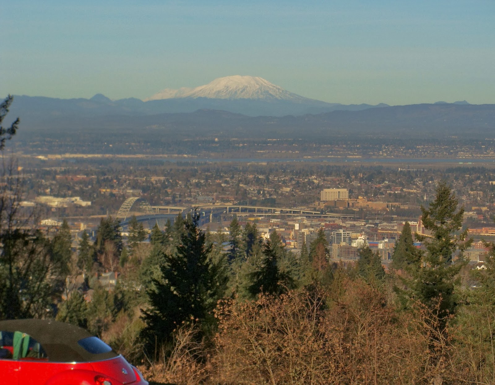
 Keep on trucking up the last few switchbacks, and soon you will arrive at the top. On a clear day, these are the views you will see of Mt. Hood and Mt. St. Helens. There are nice grassy area and benches at the top for you to relax and enjoy the scenery. It is hard to believe, but from 1907 to 1929 Council Crest was the site of an elaborate amusement park.


The full history of the amusement park, along with fascinating old pictures, can be found at this site.


When it's time to head down the hill, start down the trail you came up on, but within 100 feet you will see this junction - you came up the trail on the right, but you will head down the trail on the left, which is also signed as the Wildwood Trail. If you are so inclined, you can follow this trail all the way across Washington Park and the Portland Zoo, to Pittock Mansion, and on to the nether regions of Forest Park many miles to the north.


But you won't be going that far on this walk - the second half of the walk, which takes you the rest of the way down the hill and back to Duniway Park, goes through residential neighborhoods. The trail comes to an intersection where Talbot Road, Fairmount Road, and Talbot Terrace meet. Be careful to avoid the first possible right turn, which is Talbot Terrace. Take the next right turn beyond, which is Talbot Road.


Talbot Road has no sidewalks, but there is a shoulder on one side of the road or the other and  not a lot of traffic. Before you get to the Greenway Road bridge shown in the picture, you will see a stairway down the hill to the left. Take it, and you will land on Montgomery Road. This street is also without a sidewalk for a few hundred feet, but there is no significant traffic since it is a dead-end road. And a sidewalk begins soon enough. Enjoy looking at the nice homes on both sides of the street - and this is one of the more modest Portland West Hills neighborhoods!

Montgomery eventually meets up with Patton Road. Turn right, and continue as Patton turns into Broadway. But soon Broadway veers right and starts down the hill. You will be taking a less traveled route to the left, a slight uphill on Ravensview Drive. Follow Ravensview as it curves up the hill. At Terrace Drive continue straight; this street becomes Hawthorne Terrace. Enjoy viewing the fine residences on both sides of these streets, many with panoramic views of the mountains above and Portland below.

Hawthorne Terrace ends at 16th Avenue - make a slight right onto 16th, and then turn left onto SW Davenport Street. Davenport does not have a street sign in this location. Continue down Davenport, and you will pass a wooded area which a map of Portland labels "Governor's Park" but has no sign indicating that it is anything but a large, wooded, steeply-sloped, vacant lot. There is an interesting history behind this particular Portland park, documented very well at this site. The "Governor" who donated this park site was Governor Sylvester Pennoyer, also for a time Mayor of Portland, a populist and somewhat disreputable late 19th century Oregon politician. He made a name for himself with anti-Chinese nativist populism that curdles the blood when read today. Lawyers and law students should know that he is the "Pennoyer" of Pennoyer v. Neff, a late 19th century Supreme Court decision that is studied in every law school first-year Civil Procedure class.

Once you pass Governor's Park, Davenport trends down the hill. You'll go through some very nice neighborhoods and see sweeping vistas of Portland and the Cascades to the east. When Davenport ends you will begin a series of road switchbacks down the hill. While there are no sidewalks here, traffic is light and slow - just keep yours eyes open for cars. Davenport turns into Chelmsford - when this street ends make a left onto Buckingham, then a right onto Cross, then a left onto Commonwealth, then a slight left onto Sheffield, and finally a right onto Hoffman.
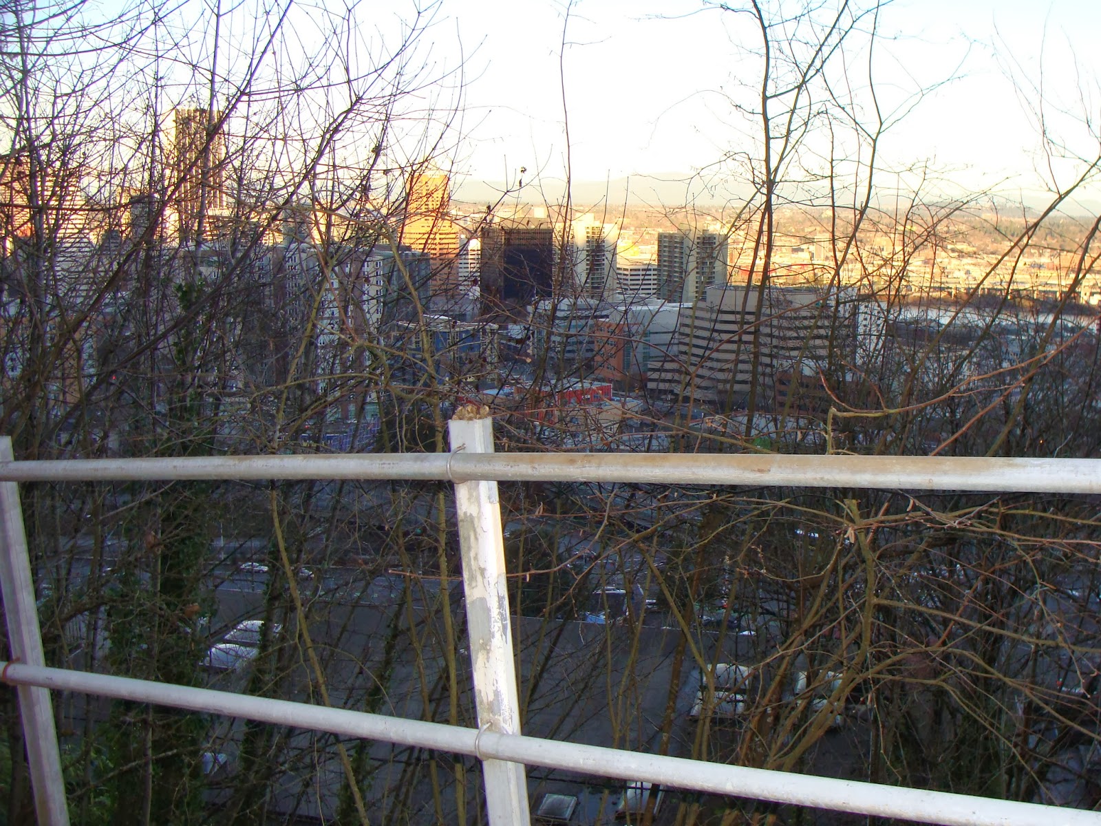
At this point, you will be in front of what looks like a 2-3 story condominium complex. You are right above downtown Portland, about at the level of the taller skyscrapers. Continue down Hoffman past the condominium complex on your left until you see the start of what is about the craziest and steepest stairway in the city. This stairway takes you straight down the hill, at such a steep angle that the stairway itself has to make switchback turns! As you go down, you will see that the 2-3 story condominium complex is actually about five stories tall, with a whole set of condos below the grade of the street.


When you get to the bottom, you are on Broadway. Broadway has no sidewalks, so carefully cross the street and start down a narrow walkway which will become a street, Sherman Street, that take you to Sixth Avenue. But before you go, look back and view the stairway you just went down, and think about residents of those condos trudging home from downtown up those stairs after a long day at work!


Continue on Sherman, and then turn right onto Sixth Street. Walk up the street, past the Terwilliger Plaza retirement complex, and you will be at the upper end of Duniway Park. Retrace your route down the trail, across the running track and athletic field, back to your starting point. Congratulations, you've just finished over 4 miles of walking, and survived almost 1000 feet of elevation gain!


Saturday, January 18, 2014

Multnomah Village and Gabriel Park - SW Portland

MULTNOMAH VILLAGE AND GABRIEL PARK - SW Portland

This 2.3 mile walk is a loop beginning at Gabriel Park, home to all sorts of recreational activities, and through Multnomah Village, Southwest Portland's most "Portland" neighborhood. The walk doesn't have any big hills, but there is quite a bit of up and down. It would be a great trip for families with children.


This loop walk begins at the parking lot near the Skate Park, one of the most heavily used parts of the 90-acre Gabriel Park, established in 1950. Before heading off along the trail, take a moment  to watch the skateboarders in action!  While skateboard parks were considered controversial in the past, because neighbors thought they attracted the "wrong" kind of people, they have become common park amenities in recent years.

From the parking lot, look to your right, or south, and take the pathway the goes between the two lower tennis courts leaving the parking lot at the accessible parking spaces, and parallel to SW 45th Street. You'll be walking in the opposite direction of the skate park. Beyond the tennis court to the right is the summer off-leash dog area of the park.


You will leave the tennis court area and head into the woods, along a pretty little trail. Whenever it forks, keep to the right. You will eventually reach a nice meadow. Keep walking up the meadow, until you reach a fork in the trail. To the right the trail goes up to Canby Street, but take a left instead.


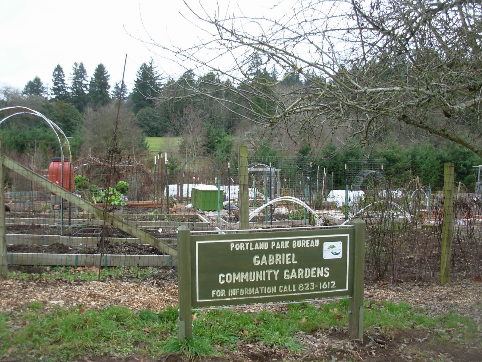
You will soon be walking past the winter off-leash dog romp area, and then you will come to an untidy, but fertile-looking community garden. This is another great use of park land that is possible in large facility like Gabriel Park. During the growing season you'll see lots of healthy looking garden plots.


Continue up the pathway until you exit the park onto Canby Street, which runs parallel to the edge of the park. Although there is no sidewalk on this street, an unfortunate situation common throughout southwest Portland, there is very little traffic, and the straight route has no blind curves or corners. At 36th Street, you will see an off-street pathway to the left, with a "SW Trails" sign on it. SW Trails are a great alternative resource for walks throughout southwest Portland - the group sells a trails map, and the city has an online pedestrian map of southwest Portland with all of the trails indicated on it.

Continue south on 36th Street, and after Troy Street you will have sidewalks to walk on. Go one block and turn left on Capitol Highway. You are now in Multnomah Village.

Multnomah Village is a charming little neighborhood center, the closest thing to areas like SE Hawthorne, Hollywood, Sellwood, or NW 23rd that you will find in southwest Portland. The neighborhood was established around 1910, when the Oregon Electric Railway built a depot along its line through the village. Where are the rails, you ask? As you walk down 36th Avenue toward Capitol Highway, look one block further south, and you will see Multnomah Boulevard, a straight, flat street that runs perpendicular to 36th and generally east-west through southwest Portland. Once you get to Capitol Highway, if you look to the right you will see an old bridge crossing over Multnomah Boulevard. The reason this bridge was built? - the route of Multnomah Boulevard used to be the route of the Oregon Electric Railway, running from Portland to Eugene. It came up from downtown Portland along the route that is now occupied by Interstate 5, and then followed what is now Multnomah Boulevard into Tigard past what is now the Washington Square shopping center. This portion of the railway was abandoned around 1940.

The village has a couple of coffee shops if you want to stop for something here. Village Coffee is located on the left (north) side of the street at 7781 Capitol Highway, between 34th and 35th. And of course there's also a Starbucks, at 7737 Capitol Highway, at the corner of Capitol and 34th. There are also several restaurants along the street - look them up on Yelp for information. Annie Blooms bookstore, one of Portland's most notable local bookstores that doesn't start with a "P," is located at 7834 Capitol Highway, on the right (south) side of the street between 35th and 36th.  Also, there are quite a few gift and other knick-knack shops for perusal. For those who want a more fortified liquid refreshment, the Lucky Labrador Brew Pub is located on the left (north) side of Capitol Highway at its intersection with 32nd. Your dog is welcome inside if it has come along for the walk.

Take a left on 32nd Street. Sidewalks are intermittent, but there isn't much traffic on this street. After two blocks, take a left on Nevada Court, which, believe it or not, is a public street in the City of Portland! There are a lot of streets in Southwest Portland that are as decrepit as this one - I would hate to have to drive it every day, but it's fine to walk on, because there's so little traffic. Follow Nevada Court for several blocks - cross carefully at 35th Street, which has some traffic - until you get back to Gabriel Park.


At the corner of Nevada Court and 37th Street, you will reach the edge of the park. Turn north (right) on 37th for a block and then enter the park. Follow the trail to the southwest, which will lead you back to your starting point at the Gabriel Skate Park.


Thursday, January 2, 2014

Lake Oswego - Up to Mt. Sylvania and back - Version 2.0

THERE'S MORE THAN ONE WAY TO CLIMB UP TO LAKE OSWEGO'S ONLY (EXTINCT) VOLCANO!

This alternative route is also an almost 4-mile loop from Lake Oswego's Westlake Park to the top of the Mount Sylvania and back, a 638-foot elevation gain. 

The first half of the walk, like version 1.0, winds through the Mountain Park community. Soon after the community started it received a visit and blessing from none other than Oregon's legendary governor Tom McCall, who lauded Carl Halvorson and his development team for their vision. Mountain Park's 8,500 residents are the beneficiaries of Halvorson's design, and you are too as you walk on the Mountain Park trails and under its busy roadways.

But the other half of this walk takes you down through the Portland Community College Sylvania Campus, also developed in the late 1960's, and through additional wooded areas and some nearby neighborhoods.


Start this walk at Westlake Park, cross Melrose Street, and head up Peters Street. You'll be passing both new large attached townhomes and new large detached single-family homes. At Auburn Lane, turn right.


Once on Auburn Lane, make a quick left, and you will see on the right side of the street a trail heading up the hill. Take it. The large embankment on your right is actually the side of a buried underground water storage facility, courtesy of the City of Lake Oswego, with a nice grassy play area on top of it.


This trail tees into a Mountain Park Homeowners Association pathway. Take the route to the left - on your right are the backs of homes in Mountain Park, while on your left are the backs of homes not in Mountain Park, built in the 1980's. Eventually the houses on the left are replaced by a nice forested area.


Eventually you will get to this bridge. At the fork in the trail beyond the bridge, head to the right. On your left you will see an odd sight - what looks like a small industrial yard in the forest. In fact it's the maintenance yard and RV storage yard for the Mountain Park Homeowners Association.


Follow this trail to Bernini Street (you are once again in Mountain Park's "artist colony"!) Cross the street, and continue up the trail to one of the signature street tunnels throughout the Mountain Park trail system. This one seems particularly superfluous, consisting of twin tunnels taking the trail underneath Jefferson Parkway. They don't have any other purpose, such as conveyance of flood waters, that is apparent.


Once through the tunnel, you will be heading up a steep patch of trail, through the woods of Mountain Park, with a condo development to the right and some apartments to the left. The apartments are "notable" for being the site of the first murder in Lake Oswego, about 10 years ago, that had occurred since 1980. Since then they have been renamed, repainted, and generally upgraded. At the top of this trail, you will come to a paved trail paralleling Kerr Parkway. Take a left and then go through yet another tunnel under Kerr. 


Once through the tunnel, take the path up to the level of Kerr Parkway. You will have to go along a short stretch of the roadway without a sidewalk, but there is a wide shoulder. On your right is a large apartment complex. Suddenly, a short sidewalk begins, ending at a stairway going up to the right. Take it.


After a short distance along this concrete walkway, take the stairway to the left. You will now be walking through a dead-end street with townhomes on both sides.


At the entrance to the townhome development, take a left and then another quick left onto McNary Parkway.


Now you have a bit of overlap with the first Mt. Sylvania hike, as you cross McNary onto Hidalgo, but follow a nice little trail in McNary Park, built on top of a Lake Oswego water reservoir. Leave the park trail and head up Juarez, then turn left onto Garibaldi. Instead of taking the short, steep route up to the summit, follow Garibaldi on its winding route up the hill, enjoying the monumental architecture of some of the huge houses, especially on the uphill side of the street. You will notice a couple of very steep vacant lots, and you can appreciate the amount of geological analysis that (hopefully) went into the design and construction of these houses! Eventually on your left you will see a little calf-burner of a steep walk from Garibaldi up to Nansen Summit Road, marked by a Mountain Park trail sign.
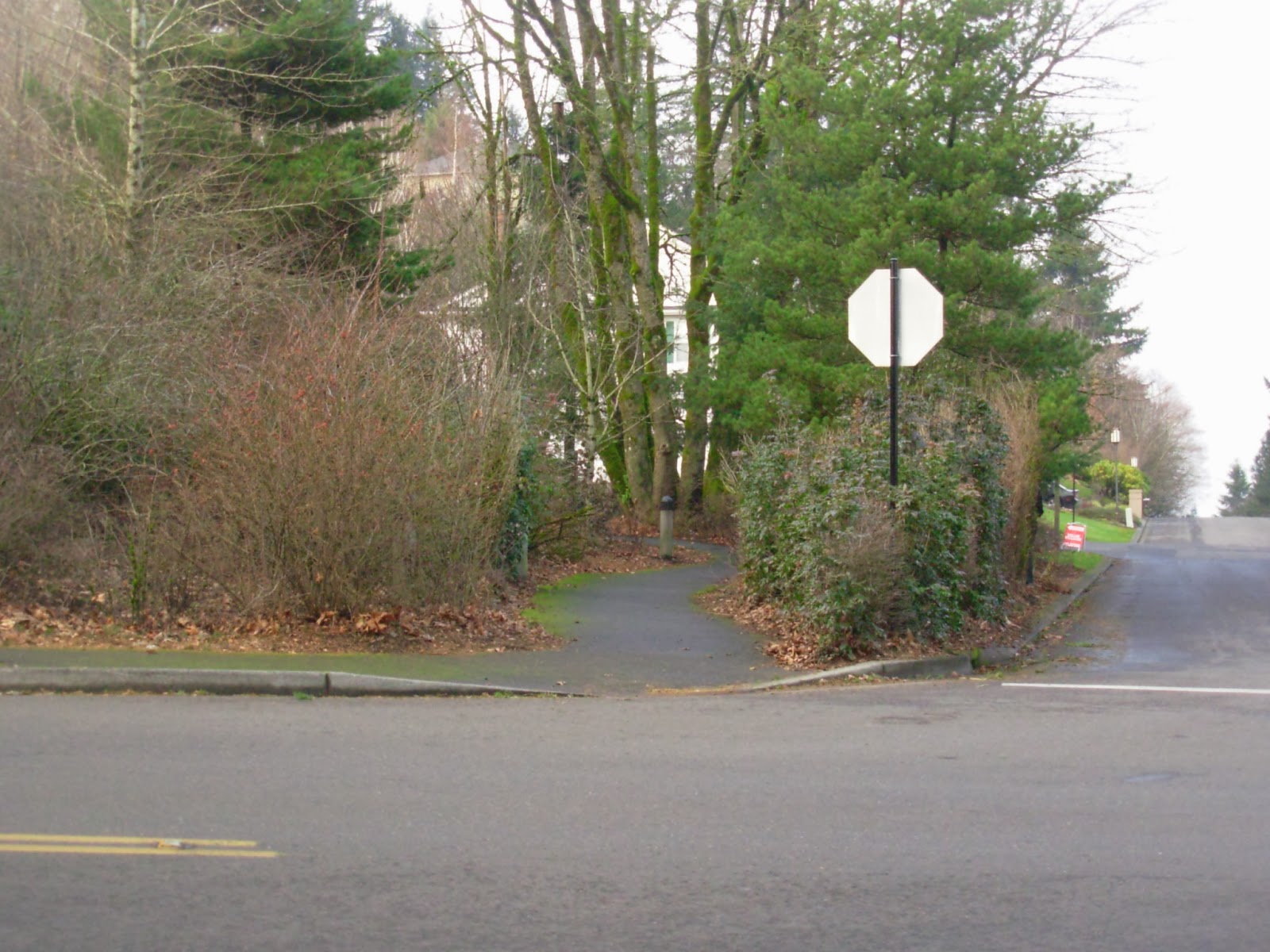

Once you reach the top, go up to the summit and enjoy the views. This picture, taken on a cloudy day, doesn't do the views justice. The best views are of Washington County to the west, since a bunch of darn big trees get in the way (at least partially) in the other directions!


There are some nice-looking houses at the top of Mt. Sylvania, but my favorite is this one, on your left as you head down Nansen Summit, at the corner of Nansen and Bolivar. It might not be to everyone's taste (I know of one critic who loathes the turquoise rockwork mixed in on the facade), but I think it's a great-looking house.


Walk down Nansen Summit to Becket, and take a right. Then take a left on Hidalgo, cross 49th Street at the signal light, and you are now on the Portland Community College campus. Head into the campus, and follow the circumferential road to the left. Our official route will take you around the campus parking lot and buildings, but you can take a detour by going straight toward the buildings and looking around.

Portland Community College has three main campuses, of which this one, the Sylvania Campus, is the first and largest. It serves 26,000 students, and was opened in 1968. As you look down upon the campus from the 49th Street entrance, the first thing you will see is a giant parking lot - most of the students commute to campus by auto, rather than by Trimet bus or via bicycle. Beyond that is a row of newer buildings, including the campus library, that were built in the 1980's and 1990's. And behind the newer buildings are the original campus buildings. These were designed in the institutional style now known as "brutalist;" concrete structures with exposed beams. The brutalist style of architecture has not aged well, and most institutional architecture since this period of construction has been a reaction against the style.

One additional note - if you need to make a bathroom stop, the campus will provide, unless you are taking this hike during a period when the campus is closed (late nights, holidays, weekend evenings, evenings and weekends during class breaks).

As you walk along the perimeter road, look for this scene - a tarp-covered concrete silo of some sort on the left side of the road. Our trail down the hill begins at this structure. Follow the trail down hill, past the PCC athletic field (in the Winter of 2014 there is a construction site with trailers that you will pass by).


Keep on following the trail down the hill, and continue through the forest. Below the athletic field, where the trail forks, keep to the left. You will then reach the end of Haines Street. There is no sidewalk on these streets, but there is very little traffic, until you get to Lesser Road, site of a 4-way stop.


At the 4-way stop, cross the street and go for 
a brief walk along Lesser Road to the left. But be sure to stay straight and go onto 62nd Avenue. Do not stay on Lesser Road; this heavily traveled street has no sidewalks or shoulders along most of its length, and with cars speeding a 35 mph, it is a death trap for pedestrians. While 62nd Avenue also has no sidewalk, it also has much less traffic, moving at 25 mph (hopefully).


Follow 62nd Avenue as it goes down the hill. You are going through a neighborhood that was developed in the 1950's and 1960's with houses that were called "tract" houses at the time, and now with the patina of age are often called "mid-century modern." In the lower half of the street are some of the ubiquitous split-level entry homes that proliferated in suburban neighborhoods at the time. Go to the end of the road, and you will see a trail entrance into a Southwood Park.

Follow the trail and go through the park. The city park has a sign indicating prohibited items, including firearms and paint guns. I'm sure there's an interesting story involving wayward Lake Oswego youthful exuberance behind the prohibition of the latter!


The rest of the walk will take you through the Westlake neighborhood, developed in the late 1980's and 1990's, with the predominant architectural styles switching from the "mid-century modern" on 62nd Avenue to various colonial pastiches, with a heavy dose of English tudor. Suncreek Drive, the road you are on, will end at Fosberg Road, but continue across the street with a slight veer to the right and follow Melrose Street back to Westlake Park and your starting point.

About Me

Blogs about biking and walking in the Pacific Northwest